
After the hydrothermal loop, we felt ready to push higher onto the active volcanoes of the Andes. No better place to start than at the mighty Volcán Guallatiri, a 6100 metre high, actively degassing behemoth on the Chile-Bolivia border. Recently, this monstrous volcano gained fame by leaving the Top Gear trio and their 4x4s gasping for breath in the thin atmosphere at high elevation. All of The Trail By Fire team members were certain we could do better.
We took all precautions, considering that none of us (not even the Land Rover) had ever been so high. By carefully charting the elevation profile of the route in advance, we could monitor our health (e.g., heart rates) and the Land Rover’s performance, leaving opportunity for safe descent if the mission had to be aborted. The elevation profile from sea level at Arica could only be described as… “up”.

Profile of the route to Guallatiri.
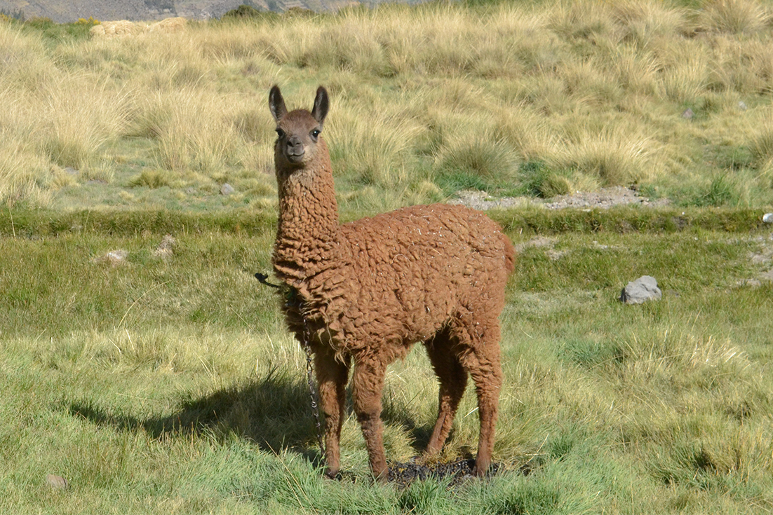
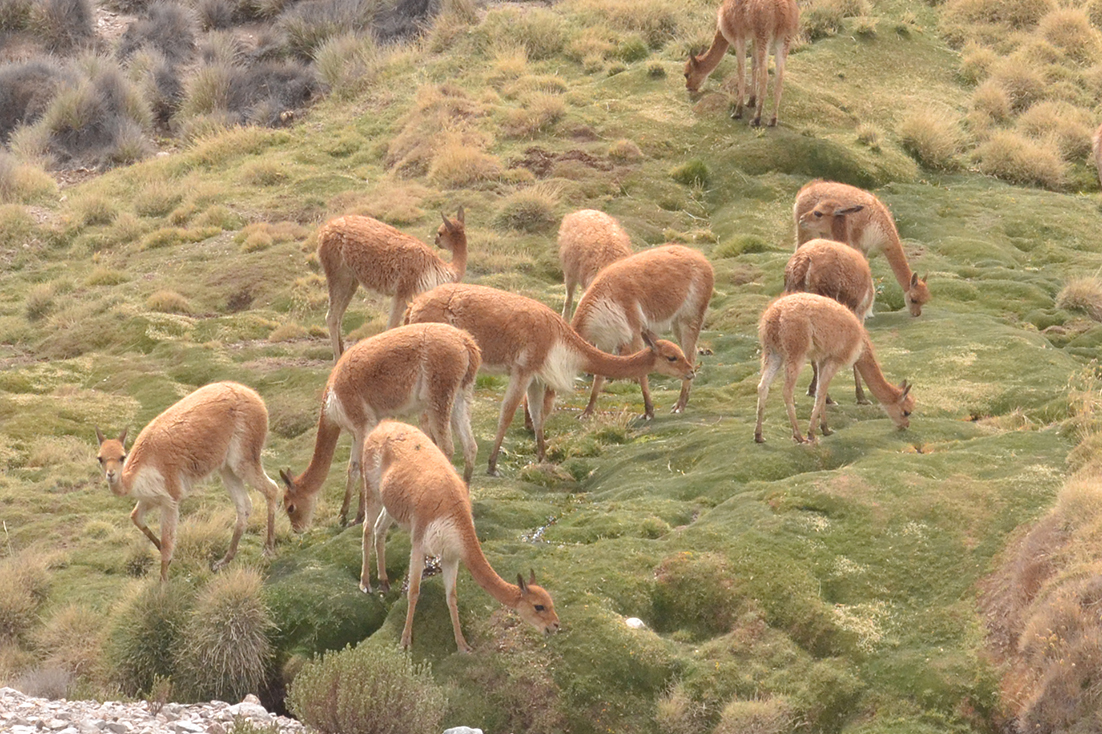
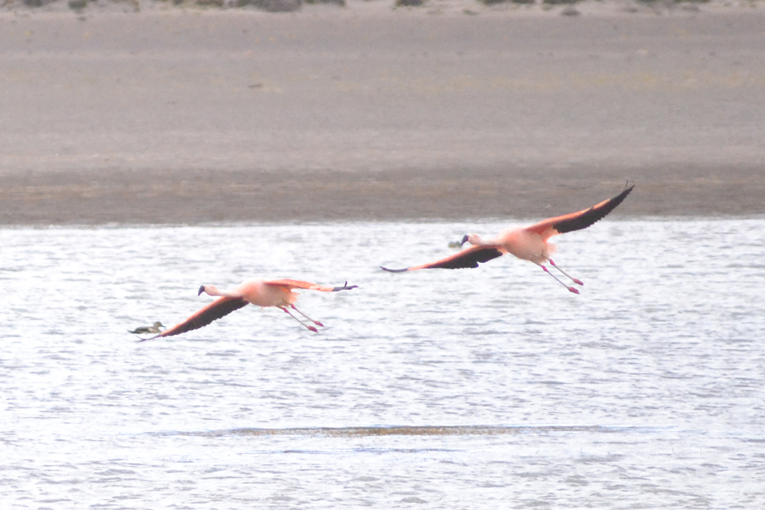
It quickly emerged that the ambitious route was no match for the Trail By Fire. We cruised through breathtaking vistas of the Parinacota region, fields of friendly alpacas and vicunias, and saline lakes with pink flamingos. Through it all, we adjusted well to the nuances of high-mountain commercial traffic on the Chilean-Bolivian route.
On the way to Guallatiri we encountered a 7km queue of trucks headed to Bolivia. We dealt with it the Chilean way.
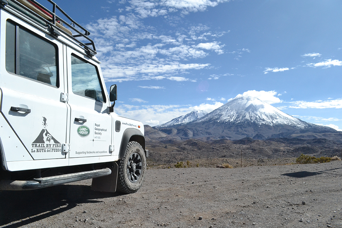
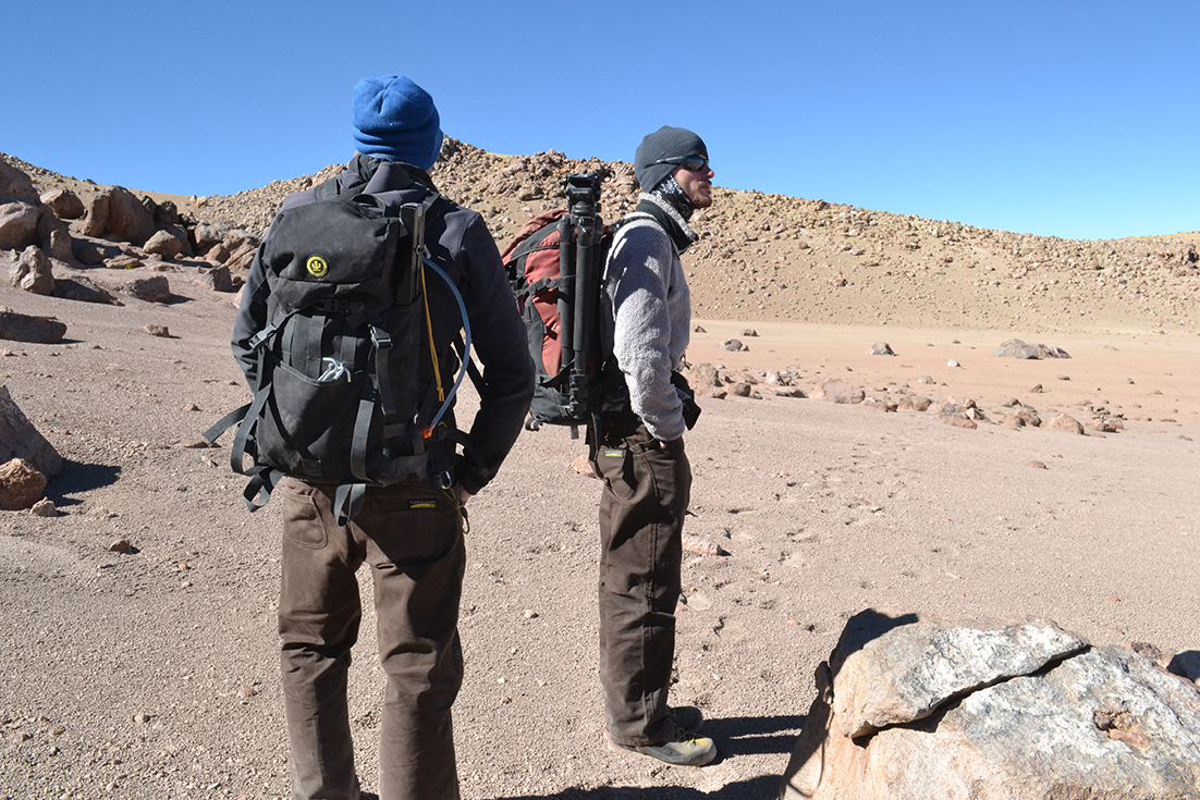
The Land Rover, fully loaded, easily shattered its design maximum altitude of 4500 metres. We ran out of navigable (off) road long before we ran out of power, and parked up comfortably at a plateau between snow-capped Parinacota and Guallatiri volcanoes, at about 5300 metres above the Pacific Ocean we had swam in only that morning.
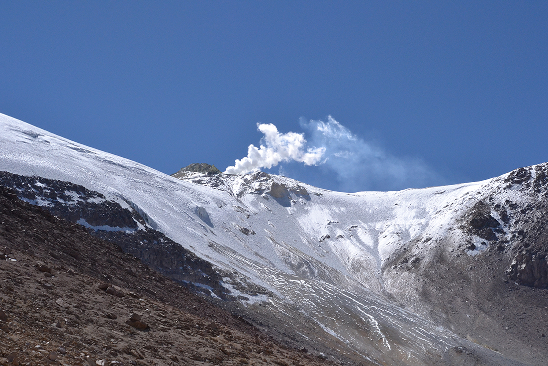
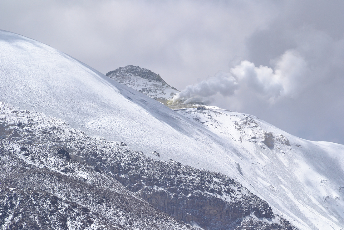
Guallatiri’s last major eruption was in 1960, with another “probable” one (unconfirmed due to its remoteness) in 1985. In June-July 2015, the Chilean authorities (SERNAGEOMIN) briefly put Guallatiri on alert due to elevated seismic activity. The weather was perfect. A short ascent on foot provided a good vantage point on the active plume, and we engaged part of our “mobile volcano observatory" to make remote measurements of SO2 flux by UV Camera and DOAS. The UV Camera in particular performed spectacularly, yielding robust data for calculating volatile flux from this remote volcano.
UV Camera images showing Guallatiri's SO2 emissions.
With data now starting to roll in, and with the Land Rover and our bodies now tested to extreme altitudes, we are ready for the next step - crossing the border into Peru to embark on the most active and challenging leg of the Trail By Fire!